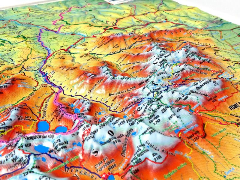
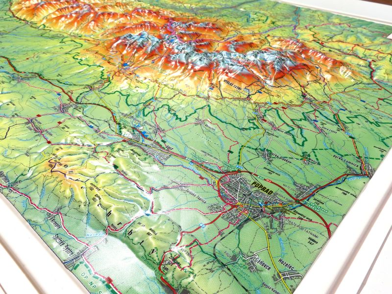
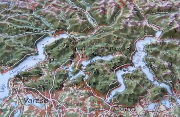
The High Tatras relief map covers areas in Poland and the Czech Republic. Anyone who has had enough of Alpine tourism and is open to two sociable countries at the same time is well advised to go on holiday in this part of Europe. The smallest high mountain region in Europe is not only very idyllic, but also cheap. The map shows Orava Lake in the northwest, Kacwin in the northeast, Hranovnica in the southeast and Liptovska mara in the southwest.
Producer: Kralovstvi Map Kubelíkova 329, 779 00 Bystrovany www.kralovstvimap.cz
Size: 91.5 x 67 cm
Scale: 1 : 66,6666

